

Hurricane Polo 2026: A Category 5 storm threatens the coast of Mexico
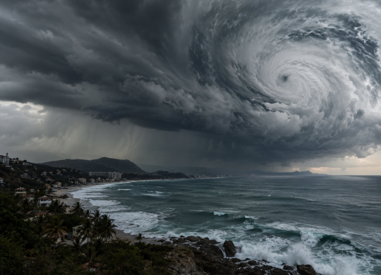
Hurricane Polo has intensified to a Category 5 storm and reached wind speeds of up to 285 km/h, becoming one of the most powerful cyclones in the eastern Pacific. The coast of Mexico is at risk of heavy rainfall, flash floods, landslides, and dangerous waves. Learn more about Hurricane Polo 2026, its strength, path, and potential impacts

In September 2026, Hurricane Polo intensified to a Category 5 storm off the Pacific coast of Mexico. The National Hurricane Center recorded maximum sustained winds of about 285 km/h and a minimum central pressure of 892 hPa, corresponding to an extremely powerful tropical cyclone. Even if the storm’s center remains over the ocean, the states of Guerrero and Michoacán remain at risk of heavy rainfall, flash floods, landslides, and dangerous sea swells. In this article, we examine how powerful Hurricane Polo 2026 is, which areas of Mexico are at risk, and what tourists can expect.
Planning a trip abroad?
Insurance from the Visit World portal will help you avoid unnecessary risks. The policy covers the costs of medical treatment, emergency assistance, and unforeseen situations abroad, so that even in the event of delays or route changes, you remain protected and can focus on your trip rather than on problems.

Hurricane Polo 2026 has reached Category 5—what we know so far
Polo intensified from a tropical storm to a Category 5 hurricane—the highest category—in less than two days. On September 21, maximum wind speeds were around 100 km/h, and by September 22, the National Hurricane Center recorded speeds of up to 285–290 km/h. The central pressure dropped to approximately 892 hPa, which is typical for extremely powerful tropical cyclones.
As of the latest updates, Polo remains over the Pacific Ocean south of Mexico. On the evening of September 22, the storm’s center was located approximately 340 km south of Zihuatanejo. It is moving slowly, which increases the risk of prolonged rainfall along the coast.
Hurricane Polo’s key characteristics are currently as follows:
- Category – 5, the highest on the Saffir–Simpson scale
- Maximum sustained winds – approximately 285–290 km/h
- Central pressure – approximately 892 hPa
- The storm is located off the southwestern coast of Mexico
- Main risk area – the states of Guerrero and Michoacán
- Major threats – heavy rainfall, flash floods, landslides, storm surges, and dangerous waves
Category 5 means this is the most dangerous class of hurricanes. According to the Saffir–Simpson scale, this category includes storms with sustained winds of 252 km/h or higher. If the eye of such a cyclone makes landfall on a densely populated coast, it can cause widespread destruction of buildings, prolonged power outages, and damage to roads and communications infrastructure.
Due to its slow movement, the cyclone may continue to bring moisture to the coast for an extended period; specifically, flooding and landslides are now considered among the greatest risks to the population. The NHC is explicitly warning of the possibility of life-threatening consequences in Guerrero and Michoacán.
Previously, we reported on El Niño 2026, the countries at risk, and the potential impacts on weather, travel, and food prices.
Which regions of Mexico are most at risk?
The most serious risks are currently concentrated along Mexico’s Pacific coast, primarily in the states of Guerrero and Michoacán. This is where Polo is bringing the most moisture, so the main threats remain not only strong winds and high waves but, above all, flash floods and landslides.
Forecasts indicate that these areas could receive 75–150 mm of rainfall, with local totals reaching up to 250–300 mm. Such a large amount of rain in a short period is particularly dangerous for mountainous areas, where water-saturated soil can become unstable. This increases the risk of landslides, road blockages, and the isolation of certain settlements from transportation networks.
The most dangerous consequences may include:
- Flash floods and flooding of low-lying areas
- Landslides on mountain roads
- Destruction or blockage of transportation routes
- Power outages and disruptions to mobile communications
- Damage to coastal infrastructure
- Dangerous waves and strong rip currents
- Closure of beaches, ports, and tourist areas
A separate threat stems from the fact that Polo is moving slowly. If the storm lingers near the coast, the rains may last longer, and the risk of flooding will increase even without the eye of the hurricane making direct landfall. It is precisely this scenario that often poses the greatest challenge for coastal and mountainous areas.
For tourist destinations along Mexico’s Pacific coast, this could mean the cancellation of boat tours, beach closures, delays in transfers, and problems with intercity roads. The most vulnerable areas are those where tourist infrastructure is located close to the sea or on hillsides.
In a previous article, we reported that forest fires swept across Europe in 2026: which countries were hit the hardest.
Why did Hurricane Polo intensify so quickly?
The speed at which Polo intensified was one of the storm’s defining characteristics. As late as September 21, it was a tropical storm with wind speeds of about 75 km/h, but in less than a day, it had become a Category 5 hurricane. The National Hurricane Center warned early on that conditions for rapid intensification were nearly ideal.
The main factors were as follows:
- The ocean surface temperature exceeded 30 °C
- Vertical wind shear remained below 10 knots
- Humidity in the middle layers of the atmosphere was around 70% or higher
- Polo had a compact core that rapidly organized around the center of the cyclone
It was the warm water that became the storm’s main source of energy. The higher the ocean temperature, the more moisture evaporates into the atmosphere. Condensation releases heat, which further fuels the cyclone. If, at the same time, strong winds at various altitudes do not “tear apart” the system, the hurricane can intensify extremely rapidly.
In Polo’s case, this unfolded almost exactly as in the worst-case scenario. According to Weather.com, in less than 24 hours, the system evolved from a tropical storm into the most powerful hurricane of the 2026 season. Such rapid intensification is particularly dangerous because it significantly reduces the time coastal areas have to prepare.
An additional factor was the strong 2026 El Niño, which is maintaining abnormally warm waters in the eastern Pacific Ocean. At the same time, it would be incorrect to attribute the formation of Polo solely to El Niño. For a hurricane to form, a specific combination of ocean temperature, humidity, storm structure, and weak wind shear is required.
Learn more about the 2026 winter time change by following the link.
What does Hurricane Polo mean for tourists in Mexico?
For tourists, the main risk is currently concentrated not throughout all of Mexico, but along the Pacific coast, primarily in Guerrero and Michoacán. The National Hurricane Center has issued a tropical storm warning for the stretch of coastline from Tecpan de Galeana to Punta San Telmo, while Polo itself remains an extremely dangerous Category 5 hurricane.
Travelers may face challenges in several areas:
- Beaches and water activities—due to high waves, strong currents, and dangerous surf;
- Roads and transfers – heavy rains may cause flooding and landslides;
- Excursions to mountainous areas – the risk of landslides is particularly high after prolonged rainfall;
- Air and bus service – delays or route changes are possible due to deteriorating weather conditions;
- Coastal hotels – some properties may temporarily restrict access to beaches, pools, and outdoor areas.
Tourists currently in the Zihuatanejo, Ixtapa, and Acapulco areas, as well as along the Michoacán coast, should be especially cautious. Even if the eye of the hurricane does not make landfall, heavy rain bands can extend far from the storm’s center. Reuters and AP are warning of life-threatening flash floods and landslides in Guerrero and Michoacán.
It’s best to keep an eye on three things: NHC updates, warnings from local authorities, and the status of your specific flight or hotel. With Polo, the forecast can change rapidly, so information from as recently as 12–24 hours ago may already be out of date.
Are you preparing for a trip abroad in 2026?
Medical insurance from the Visit World portal will provide reliable support during your trip, especially in the context of flight changes and unstable schedules. The policy covers medical expenses, emergency assistance, and other unforeseen situations outside the country, so you can feel confident even when plans have to be adjusted at the last minute.
We remind you! Croatia is stepping up its fight against drunken tourists by introducing new restrictions in popular resort cities. Split became the first city in the country to introduce strict rules on alcohol sales this summer. Read more about the new bans, hefty fines for tourists, and changes in Croatia's tourism strategy.
Products from Visit World for a comfortable trip:
Travel guide for 200 countries;
Legal advice from a local specialist on visa and migration issues;
Travel insurance around the world (please select the country of interest and citizenship to receive services);
Medical insurance all over the world.
We monitor the accuracy and relevance of our information, so if you notice any errors or inconsistencies, please contact our hotline
Frequantly
asked questions
How strong was Hurricane Polo?
Where is Hurricane Polo right now?
Will Hurricane Polo make landfall in Mexico?
What are the worst-case consequences of Hurricane Polo?
Is it safe to travel to Mexico right now?
Recommended articles
2 min
Events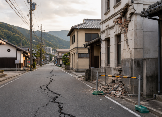
A powerful 7.1-magnitude earthquake struck Japan: casualties, damage, and evacuations
A 7.1-magnitude earthquake struck Kumamoto Prefecture in southern Japan, damaging buildings, roads, and transportation infrastructure. At least 50 people were injured, and nearly 50,000 homes were left without power. Learn more about the aftermath of the disaster, the transportation situation, and recommendations for tourists
28 Jul. 2026
More details2 min
Events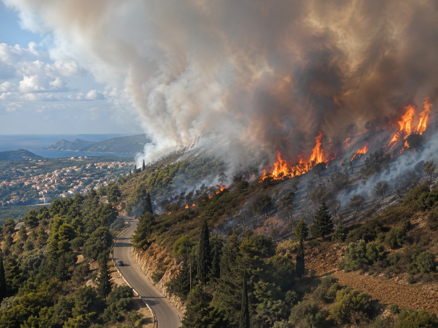
Forest fires swept across Europe in 2026: Which countries were hit the hardest?
Forest fires in Europe during the summer of 2026 engulfed hundreds of thousands of hectares, and in some countries, the scale of the fires significantly exceeded long-term averages. The situation was most severe in Spain and France, while high fire danger levels also extend to other parts of the continent. Learn more about the extent of the fires in Europe, the countries most affected, and the current risks for travelers
14 Aug. 2026
More details2 min
Expats
Winter Time Change 2026: When Do the Clocks Go Back?
In autumn 2026, dozens of countries will set their clocks back to winter time. Find out the exact dates for the time change in Europe, the USA, Australia and Asia
22 Sep. 2026
More details3 min
Events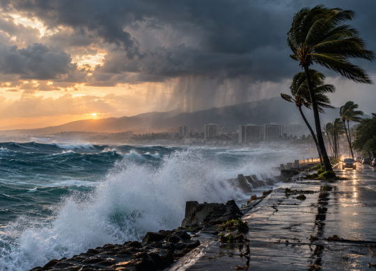
El Niño 2026 Is Getting Stronger: Where to Expect Floods, Drought and Extreme Heat
El Niño is rapidly intensifying and, according to the WMO forecast, could reach the “very strong” category by the end of 2026. The phenomenon is already being linked to droughts, wildfires, and a delayed rainy season in parts of Asia, and other regions will also feel its impact this winter. Learn more about El Niño 2026, the countries at risk, and the potential impacts on weather, travel, and food prices
22 Sep. 2026
More detailsAll materials and articles are owned by VisitWorld.Today and are protected by international intellectual property regulations. When using materials, approval from VisitWorld.Today is required.