

El Niño 2026 Is Getting Stronger: Where to Expect Floods, Drought and Extreme Heat
Table of contents
- What is El Niño, and why does it affect global weather?
- El Niño 2026 is Intensifying: What’s Happening Now
- Where might El Niño 2026 cause flooding and severe storms?
- Where will El Niño 2026 intensify drought, heat, and wildfires?
- How will El Niño 2026 affect the winter of 2026–2027?
- How might the 2026 El Niño affect food prices?
- When will the 2026 El Niño peak, and how long will it last?
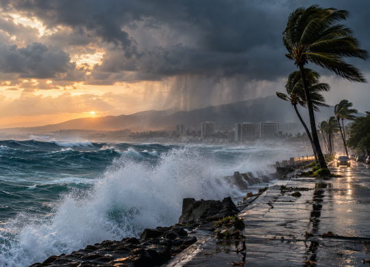
El Niño is rapidly intensifying and, according to the WMO forecast, could reach the “very strong” category by the end of 2026. The phenomenon is already being linked to droughts, wildfires, and a delayed rainy season in parts of Asia, and other regions will also feel its impact this winter. Learn more about El Niño 2026, the countries at risk, and the potential impacts on weather, travel, and food prices

El Niño in 2026 has already entered a strong phase and continues to intensify. According to NOAA, in September, sea surface temperature anomalies in parts of the equatorial Pacific exceeded +3 °C, and the probability of a very strong El Niño in the fall and winter of 2026–2027 is over 90%. The WMO estimates the probability that the phenomenon will persist through February 2027 at nearly 100% and expects it to peak around November–December. This means an increased risk of heavy rainfall and flooding in some regions, drought and heat waves in others, as well as potential impacts on agriculture, travel, and transportation infrastructure.
Planning a trip abroad?
Insurance from the Visit World portal will help you avoid unnecessary risks. The policy covers the costs of medical treatment, emergency assistance, and unforeseen situations abroad, so that even in the event of delays or route changes, you remain protected and can focus on your trip rather than on problems.

What is El Niño, and why does it affect global weather?
El Niño is the warm phase of the natural climate cycle known as ENSO, or the El Niño–Southern Oscillation. During this phase, the surface waters of the central and eastern equatorial Pacific Ocean become significantly warmer than normal. At the same time, trade winds weaken, atmospheric circulation changes, and with it—the paths of storms, precipitation patterns, and temperatures in various parts of the world.
According to NOAA criteria, an El Niño event is defined as a three-month average sea surface temperature anomaly in the central-eastern equatorial Pacific Ocean exceeding +0.5 °C. Under normal conditions, the trade winds drive warm water westward from South America toward Asia, while cooler water rises from the depths off the coast of the Americas. During El Niño, this mechanism weakens, causing the warm water to shift eastward and cover a much larger area of the ocean.
It is precisely the vastness of the Pacific Ocean that makes El Niño a global phenomenon. Changes in water temperature across this enormous region affect atmospheric pressure, jet streams, and the formation of precipitation zones. As a result, the southern United States and Peru may experience more rainfall, while the western Pacific, Australia, and parts of Southeast Asia face more frequent droughts and an increased risk of wildfires. The specific impact, however, depends on the strength of the phenomenon, the season, and its interactions with other climate systems.
El Niño events occur irregularly, on average once every 2–7 years, and typically last about 9–12 months, although individual events can be longer. They most often begin to form between March and June and reach their peak intensity between November and February. That is why the end of 2026 is considered a key period for the current episode.
El Niño 2026 is Intensifying: What’s Happening Now
El Niño has already formed in the tropical Pacific Ocean and continues to gain strength rapidly. According to the latest forecast from the World Meteorological Organization, the probability that the phenomenon will persist until February 2027 is nearly 100%, and it is expected to peak in late 2026. The WMO explicitly warns that a very strong El Niño has the potential to significantly alter global temperature and precipitation patterns and increase the risks of floods, droughts, and extreme heat.
According to the WMO’s multi-model forecast, the average sea surface temperature anomaly in the Niño 3.4 region in September–November could reach approximately +3.6 °C. By comparison, the forecast for July–September predicted about +2.0 °C, and for August–October, about +2.9 °C. This trend indicates that the equatorial Pacific Ocean is warming very rapidly, and the models are in broad agreement that the phenomenon will continue to intensify through November–December.
A strong El Niño does not mean the same weather in every country. In some regions, it increases the likelihood of heavy rainfall and flooding; in others, conversely, it heightens the risk of prolonged drought and heat. Other climatic factors will also influence the situation. In particular, the WMO forecasts the development of a positive phase of the Indian Ocean Dipole with a seasonal value of about +0.9 °C, while waters in the tropical Atlantic also remain warmer than normal. This could intensify or, conversely, partially alter the typical effects of El Niño in certain regions.
For September–November 2026, the WMO forecasts an increased likelihood of above-normal temperatures across nearly all land areas worldwide. At the same time, the precipitation map already shows the contrast characteristic of a strong El Niño: some regions are shifting to wetter conditions, while others face an increased risk of precipitation deficits. It is precisely this difference that will determine where the risks of flooding, drought, wildfires, and travel disruptions will increase the most in the coming months.
Where might El Niño 2026 cause flooding and severe storms?
A strong El Niño alters atmospheric flow patterns and redistributes precipitation among regions. WMO forecasts for the second half of 2026 already show this characteristic contrast: some parts of the world face an increased likelihood of rainfall deficits, while in other areas the risk of heavy precipitation, localized flooding, and stormy weather is rising.
The following regions require the most attention in the coming months:
1. The southern and southwestern United States. For parts of the southern states, including California, Arizona, New Mexico, and Texas, El Niño often shifts the winter jet stream southward and increases the likelihood of wetter weather. The WMO is already forecasting above-normal precipitation for parts of the southwestern United States.
2. Peru and Ecuador. Warming in the eastern tropical Pacific Ocean can sharply increase precipitation along the Pacific coast of South America. During severe episodes, this creates risks of flash floods, flooding, and landslides.
3. Central and eastern parts of the equatorial Pacific Ocean. It is here that the WMO identifies one of the most distinct zones of increased likelihood of above-normal precipitation, consistent with the typical atmospheric response to a strong El Niño.
4. Southern Europe. Current seasonal forecasts indicate an increased likelihood of wetter conditions in the southern part of the continent, while northern Europe may receive below-normal precipitation. At the same time, the link between El Niño and specific weather conditions in Europe is significantly less direct than in regions surrounding the Pacific Ocean.
5. Certain regions of Africa. Precipitation distribution here will be uneven: the WMO forecasts a contrast between areas with excess and deficit rainfall, so the risks of floods and droughts may exist simultaneously in different parts of the continent.
For tourists, the biggest problem is not the “rainy season” itself, but the intensity of individual weather events. A few hours of very heavy rainfall can cause airports and roads to flood, trigger landslides in mountainous areas, disrupt public transportation, and lead to flight cancellations. Those planning winter trips to California, the Pacific coast of South America, or other regions where El Niño traditionally intensifies the rainy season should pay particularly close attention to forecasts.
At the same time, it is important not to interpret a seasonal forecast as an exact scenario for a specific city. Even a very strong El Niño increases the likelihood of a certain type of weather but does not guarantee a specific flood or storm. The actual scale of the impacts will only become clearer as specific weather events approach.
Where will El Niño 2026 intensify drought, heat, and wildfires?
While a strong El Niño increases the risk of downpours and floods in some regions, it has the opposite effect in others. This is most noticeable in Southeast Asia and the western Pacific, where a lack of rainfall is already affecting wildfire risk, crop yields, and air quality.
The situation in Indonesia is currently the most telling. Due to a prolonged dry season and a strong El Niño, the country is experiencing its worst wildfire season in 11 years. It is estimated that by August alone, the fires had burned about 800,000 hectares, and authorities warn that the fires in Borneo and Sumatra could continue until early November. The smoke has already spread to neighboring Malaysia and Singapore.
The following regions are currently the most vulnerable:
1. Indonesia. The rainy season is expected later than usual, and the delay will affect approximately 61% of the country’s territory. In seven provinces, more than 12.5 million people have already been affected by heavy smoke, and the number of respiratory illnesses exceeded 113,000 cases in early September.
2. Malaysia. Authorities and the financial regulator are already preparing companies for the possible consequences of the heat and drought. Of particular concern is the palm oil sector, which is highly dependent on rainfall and temperature.
3. Singapore and neighboring countries in Southeast Asia. Even in areas not directly affected by major fires, transboundary smoke from Indonesia is degrading air quality. The WMO had previously forecast below-normal precipitation and above-average temperatures for much of the Maritime Continent.
4. Parts of the western Pacific Ocean. The WMO’s general forecast for September–November shows a precipitation deficit—typical of a strong El Niño—in parts of the region that usually receive significantly more tropical rainfall. At the same time, there is an increased likelihood of above-normal temperatures across nearly all of the world’s landmass.
The consequences of dry weather extend far beyond wildfires. In Indonesia, about 30% of rice fields lack irrigation, making them particularly vulnerable to prolonged drought. According to current estimates, sugarcane production could decline by approximately 25%, the cocoa harvest has already fallen to 15% during certain peak months, and palm oil production could drop by 2–8% in 2027.
For travelers, the main risk in such regions is not just the heat. During large-scale fires, visibility and air quality deteriorate sharply; flight schedules may be disrupted, nature parks may be closed, and travel restrictions may be imposed. By mid-September, Indonesian authorities had already deployed more than 50 planes and helicopters to fight fires and conduct cloud seeding, illustrating the scale of the situation.
El Niño itself does not “cause” every individual fire, but prolonged lack of rainfall, high temperatures, and dry vegetation drastically facilitate the spread of fire. That is why Southeast Asia remains one of the regions that warrant particularly close monitoring through the end of 2026.
How will El Niño 2026 affect the winter of 2026–2027?
The winter of 2026–2027 will be a crucial period for the current El Niño. According to a NOAA assessment dated September 17, the probability that the event will reach very strong intensity in the fall and winter exceeds 90%. The WMO also expects El Niño to persist at least until February 2027, with peak intensity occurring around the end of 2026.
The most pronounced winter effects are traditionally expected in North America. A strong El Niño shifts the position of jet streams, causing some regions to experience milder and drier winters, while others see more precipitation and storms.
According to current forecasts, the following scenarios are most likely for the winter of 2026–2027:
1. The Southern United States — a higher probability of a wetter winter, especially from California and the Southwest to the states along the Gulf of Mexico. This increases the risk of heavy rains, flooding, and localized flash floods.
2. The Western U.S.—NOAA forecasts above-normal temperatures for most areas west of the Rocky Mountains as early as October–December 2026. In some mountainous regions, significant snowfall is possible if moisture from the Pacific Ocean combines with sufficiently cold air.
3. The northern United States and parts of Canada – Strong El Niño events are often accompanied by milder winter conditions, although isolated cold snaps remain possible.
4. The northeastern United States – The forecast is more complex: temperatures may more often be above normal, but this does not rule out severe winter storms throughout the season.
5. Europe—the direct link is much weaker. El Niño can influence atmospheric circulation over the North Atlantic, but it cannot be used to reliably predict whether a specific country will have a warm, cold, or snowy winter.
NOAA is already forecasting an increased likelihood of above-normal temperatures for October–December 2026 across most of Alaska, U.S. territories west of the Rocky Mountains, most states east of the Mississippi, and the north-central part of the country. In some areas, the probability of warmer-than-normal weather exceeds 50%.
For ski tourism, a strong El Niño does not have a clear-cut effect. One resort may receive an exceptionally large amount of snow, while a neighboring region may experience more rain or a shorter period of stable snow cover due to high temperatures. That is why statistics from previous El Niño events are useful only as a guide, not as a guarantee of a good or bad season.
How might the 2026 El Niño affect food prices?
The impact of El Niño on food prices is no longer merely theoretical. In August 2026, the FAO Food Price Index rose to 133.3 points—its highest level since late 2022. The market is simultaneously under pressure from extreme weather, higher energy costs, fertilizer shortages, and disruptions in global trade. El Niño itself is not the sole cause of rising prices, but it adds a new risk to harvests in key producing countries.
The focus is currently on several staple foods:
1. Rice. India, one of the world’s largest rice producers and exporters, could see its sharpest crop decline in nearly two decades in 2026. Production is expected to reach about 144 million metric tons, which is approximately 10 million metric tons, or 6.5%, less than last year. In some key regions, the rainfall deficit reached 42%, although large government stocks are currently mitigating the risk of a sharp decline in exports.
2. Palm oil. Indonesia and Malaysia together account for the majority of global palm oil supplies, so a prolonged drought in the region has global implications. In Indonesia, palm oil production in 2027 could decline by 2–8% if the dry weather persists.
3. Sugar. In Indonesia, sugarcane production could decline by approximately 25% due to delayed rains. The FAO Global Sugar Price Index rose by 11.9% in August alone, although this is also influenced by production issues in Brazil, Europe, and other parts of Asia.
4. Cocoa. In Indonesia, yields during some peak months were already approximately 15% lower due to drought. An additional risk has emerged in Côte d’Ivoire, the world’s largest cocoa producer, where farmers reported insufficient rainfall in September and a deterioration in the outlook for the next harvest.
5. Corn, legumes, and other major crops. In Central America’s so-called Dry Corridor, drought has already damaged corn and bean crops. Food security emergencies have been declared in Honduras and El Salvador, while in Guatemala, more than 3.2 million people are already facing acute humanitarian challenges.
Southeast Asia warrants special attention, as it is a major producer of rice, palm oil, sugar, and other agricultural commodities. Delayed rainy seasons, wildfires, and water shortages could reduce harvests in several countries at once. That is why analysts are already warning of a possible significant rise in global food commodity prices if the current El Niño remains strong until early 2027.
When will the 2026 El Niño peak, and how long will it last?
The current El Niño has not yet reached its peak intensity. According to the latest estimates from NOAA and the WMO, the peak is expected in late 2026, approximately in November–December, after which the phenomenon is expected to gradually weaken. At the same time, there is a high probability that El Niño will persist until at least February 2027.
Current forecasts are as follows:
- September–October 2026 – further intensification of the warm signal in the equatorial Pacific Ocean
- November–December 2026 – the most likely period of peak intensity
- January–February 2027 – very high probability that El Niño will persist
- Spring 2027 – gradual decrease in the probability of a warm episode and transition to a more neutral ENSO phase
NOAA estimates the probability of El Niño persisting through the winter at nearly 100%, and the chance that the event will be very strong exceeds 90%. This is what distinguishes the current episode from weak or short-lived phases, which have a significantly smaller impact on global weather.
A typical El Niño episode lasts about 9–12 months, although the warm phase can sometimes persist longer. In most cases, it develops during the spring or summer, intensifies in the fall, and peaks during the Northern Hemisphere winter. This is exactly how the current event is unfolding.
After peaking, the effects do not disappear instantly. Even as ocean surface temperatures begin to decline, atmospheric circulation will continue to respond to the accumulated heat for some time. Therefore, the impacts on precipitation, temperatures, agriculture, and tourism may persist into early 2027.
The next three to four months will be crucial. If actual temperature anomalies do indeed reach the forecast levels, the 2026–2027 El Niño will rank among the strongest episodes of recent decades. At the same time, a final assessment of its magnitude will only be possible after the winter peak has passed.
Are you preparing for a trip abroad in 2026?
Medical insurance from the Visit World portal will provide reliable support during your trip, especially in the context of flight changes and unstable schedules. The policy covers medical expenses, emergency assistance, and other unforeseen situations outside the country, so you can feel confident even when plans have to be adjusted at the last minute.
We remind you! Croatia is stepping up its fight against drunken tourists by introducing new restrictions in popular resort cities. Split became the first city in the country to introduce strict rules on alcohol sales this summer. Read more about the new bans, hefty fines for tourists, and changes in Croatia's tourism strategy.
Products from Visit World for a comfortable trip:
Travel guide for 200 countries;
Legal advice from a local specialist on visa and migration issues;
Travel insurance around the world (please select the country of interest and citizenship to receive services);
Medical insurance all over the world.
We monitor the accuracy and relevance of our information, so if you notice any errors or inconsistencies, please contact our hotline
Frequantly
asked questions
What is El Niño in simple terms?
Could the 2026 El Niño really be very strong?
When will the 2026 El Niño peak?
Which countries will be most affected by El Niño?
Will El Niño affect winter in Europe?
Should you change your travel plans because of El Niño?
Could El Niño cause food prices to rise?
Recommended articles
2 min
Popular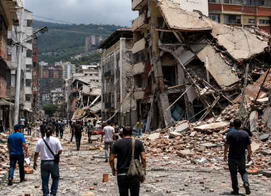
Powerful Earthquake in Venezuela: Dozens Dead, Hundreds Injured, and Widespread Destruction
On June 24, Venezuela was rocked by two powerful earthquakes with magnitudes exceeding 7, which were among the strongest the country has experienced in recent decades. The disaster resulted in numerous casualties, widespread destruction, and disruptions to transportation and infrastructure. Learn more about the causes of the earthquake, its consequences, and the current situation in Venezuela
25 Jun. 2026
More details2 min
Popular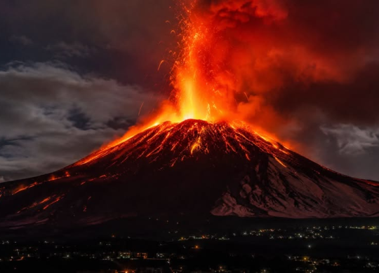
Europe's tallest volcano has erupted in Italy Mount Etna: A red alert has been issued for aviation
Mount Etna—Europe’s tallest and most active volcano—has become active again on the Italian island of Sicily. Due to large-scale ash emissions, a red alert has been issued for aviation, causing disruptions at Catania Airport and changes to flight schedules. Learn more about what’s happening on Mount Etna right now, whether there’s a threat to tourists, and how the eruption has affected air travel
07 Jul. 2026
More details2 min
Events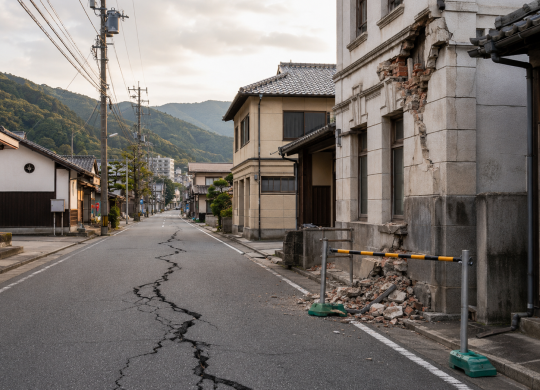
A powerful 7.1-magnitude earthquake struck Japan: casualties, damage, and evacuations
A 7.1-magnitude earthquake struck Kumamoto Prefecture in southern Japan, damaging buildings, roads, and transportation infrastructure. At least 50 people were injured, and nearly 50,000 homes were left without power. Learn more about the aftermath of the disaster, the transportation situation, and recommendations for tourists
28 Jul. 2026
More details2 min
Events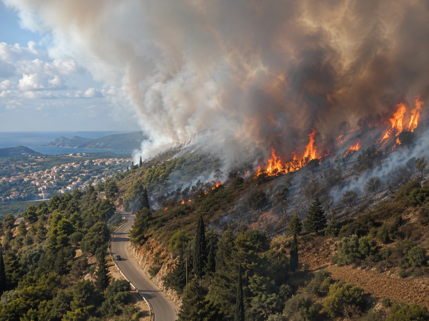
Forest fires swept across Europe in 2026: Which countries were hit the hardest?
Forest fires in Europe during the summer of 2026 engulfed hundreds of thousands of hectares, and in some countries, the scale of the fires significantly exceeded long-term averages. The situation was most severe in Spain and France, while high fire danger levels also extend to other parts of the continent. Learn more about the extent of the fires in Europe, the countries most affected, and the current risks for travelers
14 Aug. 2026
More detailsAll materials and articles are owned by VisitWorld.Today and are protected by international intellectual property regulations. When using materials, approval from VisitWorld.Today is required.